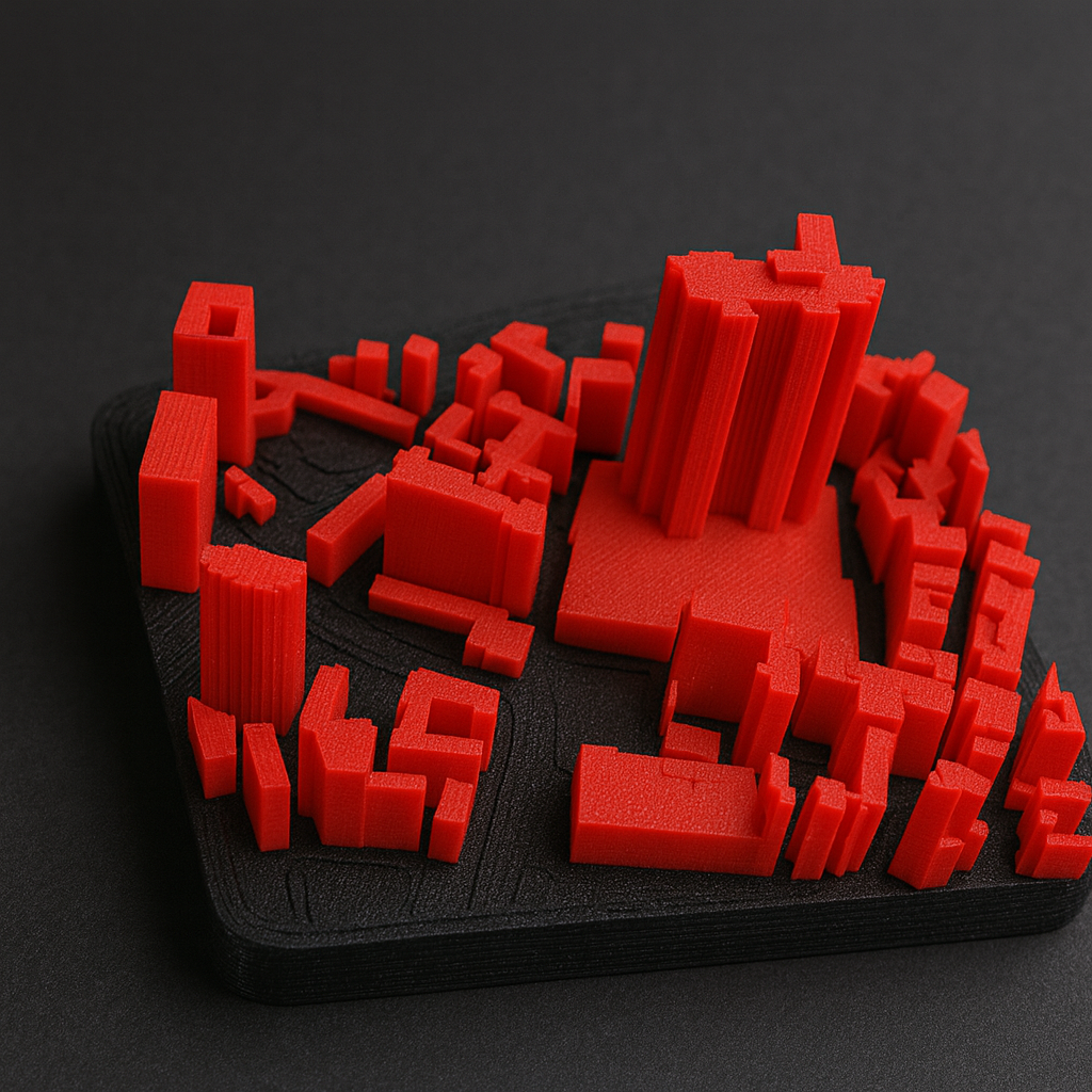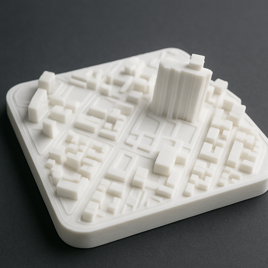
What would you like to receive?

Configuration and preview are non-binding. The STL download and physical print are paid products. You only pay when purchasing.

Need several identical parts? Use quantity discounts
  • From 5 units: 10% quantity discount. You will see the total including shipping before ordering.
  • From 10 units: 20% quantity discount. You will see the total including shipping before ordering.
  • From 30 units: 30% quantity discount. You will see the total including shipping before ordering.

🧱 Create and print a 3D city model

Erstelle ein individuelles 3D Stadtmodell aus einem Kartenausschnitt, lade die STL herunter oder lass dein Stadtmodell direkt im 3D-Druck fertigen – in Wunschgröße als Geschenk, Architekturmodell oder Präsentationsmodell.

✅ No minimum order quantity 🇩🇪 Printed in Germany 🛠️ Every model is manually checked 🚚 Shipping with DHL/UPS ⏱️ Usually 2–4 business days

🗺️ Select map detail

Draw, trace freehand or enter coordinates. You can edit every selection afterwards.

Ready

Coordinates, size & rotation
Center in decimal degrees (WGS84). Sizes are in meters.
Square around map center:

Tip: A smaller area reveals more printable building detail.

Roofs, building parts, water, green spaces, trees and bridges are simplified for printing from available map data. Terrain appears when elevation data is available; additional park trees, facade windows and inferred roofs are stylized.

© OpenStreetMap · Copernicus DEM / Open-Meteo

Tip: compact areas, such as a square or a single block, work best for detailed city models. Then you can STL download it or have it printed directly.

No model yet. Select an area on the map on the left and click on "Generate 3D model".

Image preview of your 3D model

We show images of the model here to keep loading fast.

Your choice: the complete STL file to print yourself, or a 3D print made by us.

No model yet — please select an area on the map on the left.

Buy a custom city model or generate an STL

What is a 3D city model?

A 3D-Stadtmodell ist ein maßstäbliches, räumliches Modell eines Stadtteils, eines Platzes, eines Quartiers oder einer kompletten Umgebung. Gebäude, Straßen, Gelände und Höhenunterschiede werden als druckbare Geometrie aufbereitet. So entsteht aus digitalen Kartendaten ein greifbares Stadtmodell für den 3D-Druck – passend als Geschenk, Architekturmodell, Städtebau-Modell oder Immobilien-Präsentation.

How is a 3D city model created?

  1. Choose a map area or your own data, such as a city center, campus, property or residential neighborhood.
  2. Buildings, streets and terrain elevations are transferred from available data sources into a 3D model.
  3. The mesh is prepared for 3D printing: scale, base plate, wall thicknesses and details are checked.
  4. Then receive an STL file or order the city model directly as a 3D print.
Which data sources are used?

Je nach Projekt entsteht dein Stadtmodell aus OpenStreetMap, aus Höhendaten, aus Laserscandaten, Luftbildern oder vorhandenen CAD-/GIS-Daten. Für den Druck wird daraus eine saubere STL-Geometrie erzeugt.

OpenStreetMap Höhendaten Laserscan Luftbilder CAD STL GIS-Daten

Applications

  • ✔ A gift featuring your hometown, favorite place or travel memory
  • ✔ Architectural model for design, competitions and studies
  • ✔ Urban planning, presentations, real estate and tourism

Materials

Durable plastics suit 3D printed city models, depending on detail level, color and intended use.

PLAPETGASAResin auf Anfrage

Sizes

Custom dimensions are available, from a small city block to a large presentation model.

10×10 cm20×20 cm50×50 cmcustom dimensions

Gallery: city model examples

Aerial view of a 3D city model Close-up of a printed city model with buildings Close-up of buildings and streets in a 3D city model

Related services

FAQ: City block 3D

Frequently asked questions about map section, STL, preview and price.

How much does a 3D city model cost? ▾

Der Preis hängt von Größe, Datenquelle, Detailgrad, Material und Stückzahl ab. Nach der Generierung kannst du Material, Farbe und Menge wählen und den Druckpreis direkt kalkulieren.

Can any city be created? ▾

In der Regel ja, wenn Gebäude-, Karten- oder Höhendaten verfügbar sind. Bei speziellen Projekten können eigene GIS-, CAD-, Laserscan- oder Geländedaten ergänzt werden.

How accurate are the models? ▾

Die Genauigkeit hängt von der Datenquelle ab. OpenStreetMap ist ideal für viele Gebäudeformen, Höhendaten und Laserscan verbessern Gelände und Detailgrad, CAD-/GIS-Daten können projektbezogen präziser sein.

Can I upload my own terrain data? ▾

Ja. Eigene STL-, CAD-, GIS- oder Geländedaten können angefragt und für ein individuelles Stadtmodell geprüft werden.

How long does production take? ▾

Viele Stadtmodelle werden in der Regel innerhalb von 2–4 Werktagen gefertigt. Größere Präsentationsmodelle oder besonders detailreiche Modelle können mehr Zeit benötigen.

Which file formats are supported? ▾

Für den Druck ist STL das wichtigste Format. Zusätzlich können je nach Projekt OBJ, 3MF, CAD-, GIS- und Geländedaten geprüft werden.

Can I download the STL or have it printed directly? ▾

Ja. Nach der Generierung kannst du die STL herunterladen oder Material, Farbe und Menge auswählen und das Stadtmodell direkt drucken lassen.

We ship with:

DHL UPS

What our customers say

Real and verified Google reviews from our customers.

Minimum order value not yet reached

Physical 3D prints require a minimum order value of €10.00. You still need . Digital STL files and shipping costs do not count toward the minimum order value.

You can select more products or increase the quantity of an existing 3D print.

Photo to 3D

What would you like to create? Choose an option – you will upload your source on the next page.

Example of a 3D relief created from a photo Photo to ReliefTurn your photo into a tactile 3D relief.Proven relief configurator · STL or printed partStart now → Example of a personalized 3D figurine created from a photo Photo to FigurineTurn your photo into a personalized 3D figurine with individual shape and color.Turntable preview · print or digital STLStart now → Floor plan and the spatial 3D model created from it Floor Plan to 3DTurn your floor plan into a spatial 3D model with detected walls and openings.Review preview · confirm recognition and assumptionsStart now → Technical drawing and the 3D part created from it Drawing to 3DCreate a printable 3D model from a technical drawing when geometry and dimensions can be identified clearly.Review preview · verify dimensions and viewsStart now →